Start with elevation and contour interval
A contour line joins places at the same elevation. As you move across the map from one line to the next, the ground rises or falls by the map’s contour interval. Check the legend for that interval and for the units used before interpreting a slope. Some maps also print elevations on selected lines or mark a summit with a spot height.
To picture the terrain, imagine each contour as the edge of a level shelf cut into a hillside. Crossing several lines on a walk means gaining or losing height; following roughly alongside one means staying at a similar elevation. The lines alone do not tell you which direction is uphill, so use their elevation labels, nearby summits and valleys, or marked heights to work that out.
Use spacing to judge steepness
Lines packed close together show that elevation changes over a short horizontal distance: the slope is steep. Widely spaced lines suggest a gentler slope. Where lines spread out and then bunch together, expect the gradient to change as you walk. A route that looks short on the page may still be tiring if it crosses many closely spaced contours.
Spacing is a useful guide, not a complete description of the surface. A map may not show small steps, loose stones, mud or vegetation that affect footing. Nor does a gentle-looking gradient guarantee an easy path. Read contours alongside the marked route, paths, streams and other map symbols, and allow more time when a walk includes sustained climbing or descent.
Recognize hills, valleys, ridges and saddles
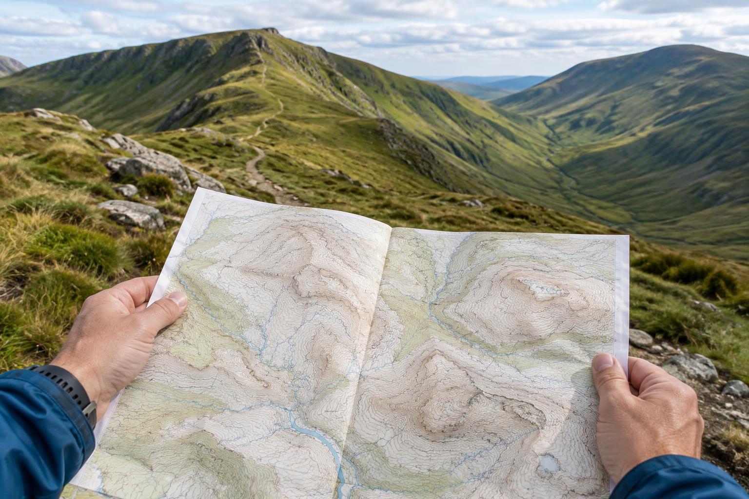
Closed contour loops commonly mark a hill or summit when elevations increase toward the center. A series of loops lets you see the hill’s shape: a broad top has more room between its upper contours, while a sharply rising top has tighter spacing. Check labels before assuming every closed loop is a hill; some maps use special markings to show a depression.
Where contours bend into a V as they cross a stream valley, the point of the V generally aims uphill, toward higher ground. A spur is a finger of higher land extending from a hill or ridge; its contour bends project toward lower ground. A ridge may appear as a longer chain of high ground with slopes dropping away on both sides. A saddle is the lower passage between two high points. These shapes become easier to recognize when you trace several adjacent lines rather than relying on one bend.
Turn the pattern into a route picture
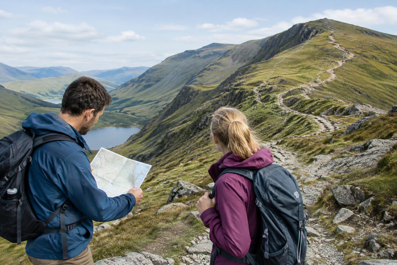
Before setting off, follow your intended path across the map and note where it crosses contour lines. Mark the main climbs and descents in your mind: Does the path climb steadily onto a ridge, cross a saddle, then descend into a valley? Look for places where a steep section follows an otherwise easy stretch. If you have a choice of routes, a longer path with gentler gradients may suit your group better than a direct climb.
Also look at how a path meets a slope. A path running nearly parallel to the contours usually changes height gradually, while one cutting across them climbs or descends more directly. This is a broad reading of the map, not a promise about every step: paths can wind within the space between printed lines. Check the map scale when estimating distance, and consider both distance and elevation change when planning a day trip.
Check the map against the ground
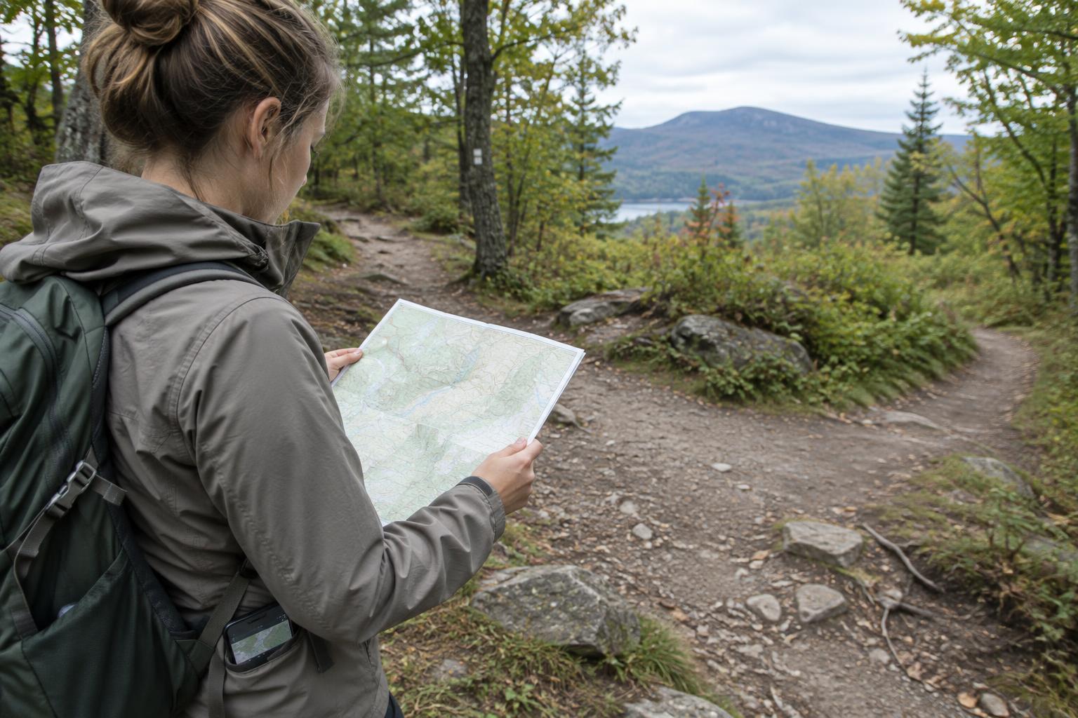
As you walk, compare the terrain around you with the sequence you expected. A stream at the bottom of a valley, a climb onto a broad ridge, or a low saddle between two rises can help confirm where you are. Check more than one feature where possible; similar-looking hills and bends can be easy to confuse. If the ground does not match your map, pause in a safe place and reassess rather than pressing on.
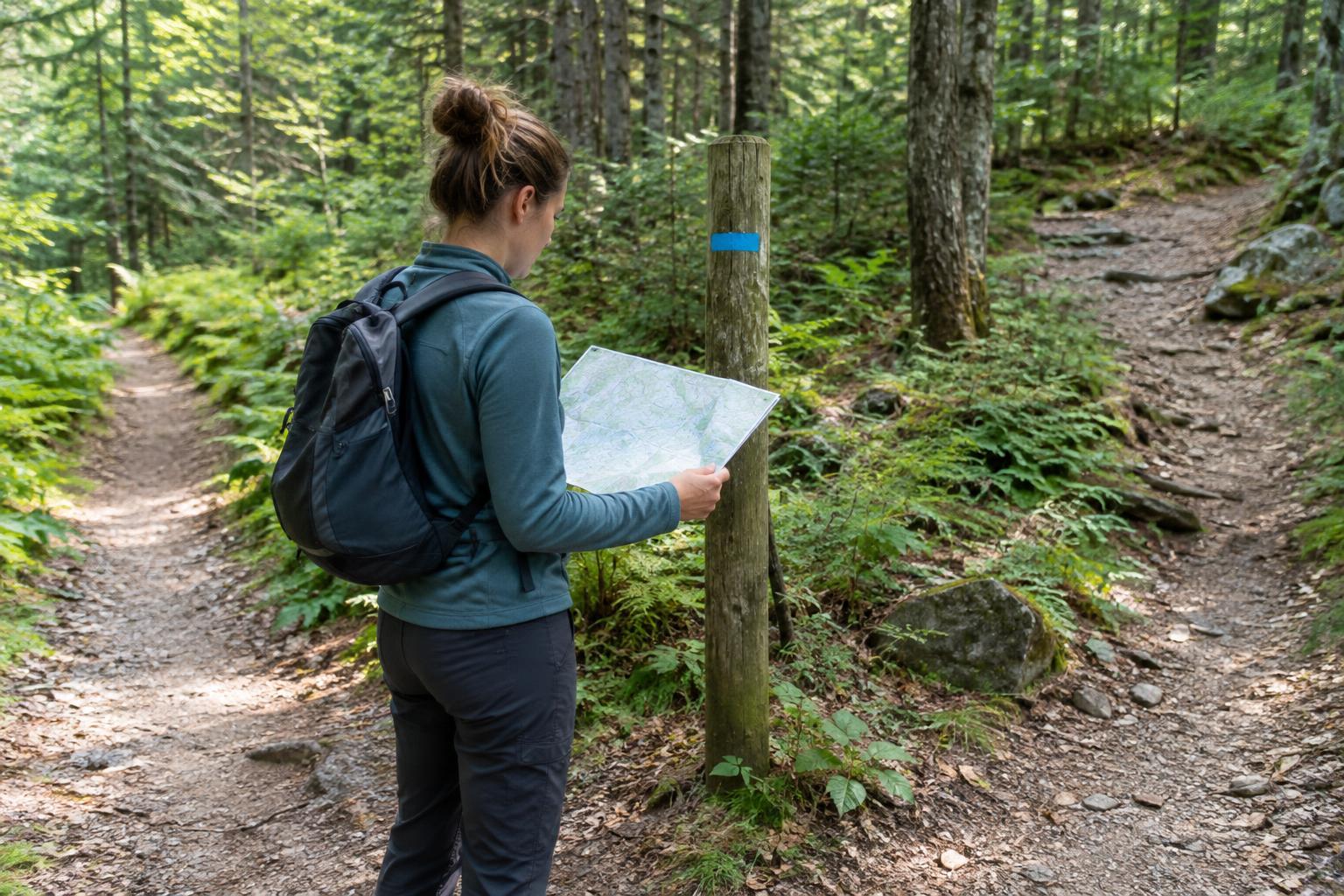
Contours are most useful as part of a wider navigation routine. Carry a map suitable for the area, know how to orient it, and check your position at clear landmarks and path junctions. Weather and visibility can make terrain harder to read, so plan a manageable route and keep an alternative in mind. With practice, the lines stop looking like abstract patterns and begin to describe the walk ahead.