What an oriented map does for you
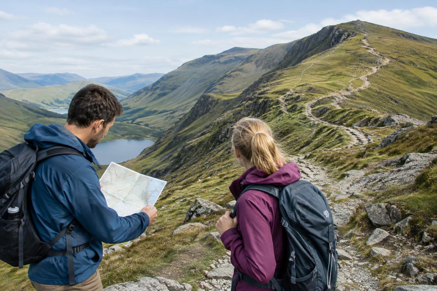
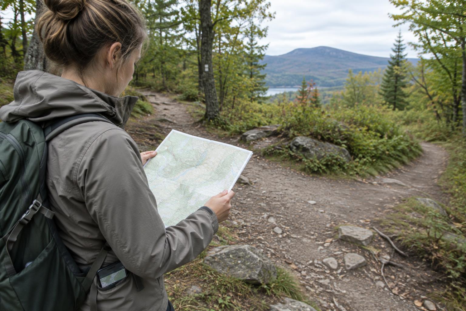
A paper map is easier to read when it faces the same way as the ground it represents. If a path runs off to your right in the landscape, it should run off to your right on the map too. This is called orienting the map. It can help you compare trail junctions, streams, ridgelines and other features without constantly translating between the page and your surroundings.
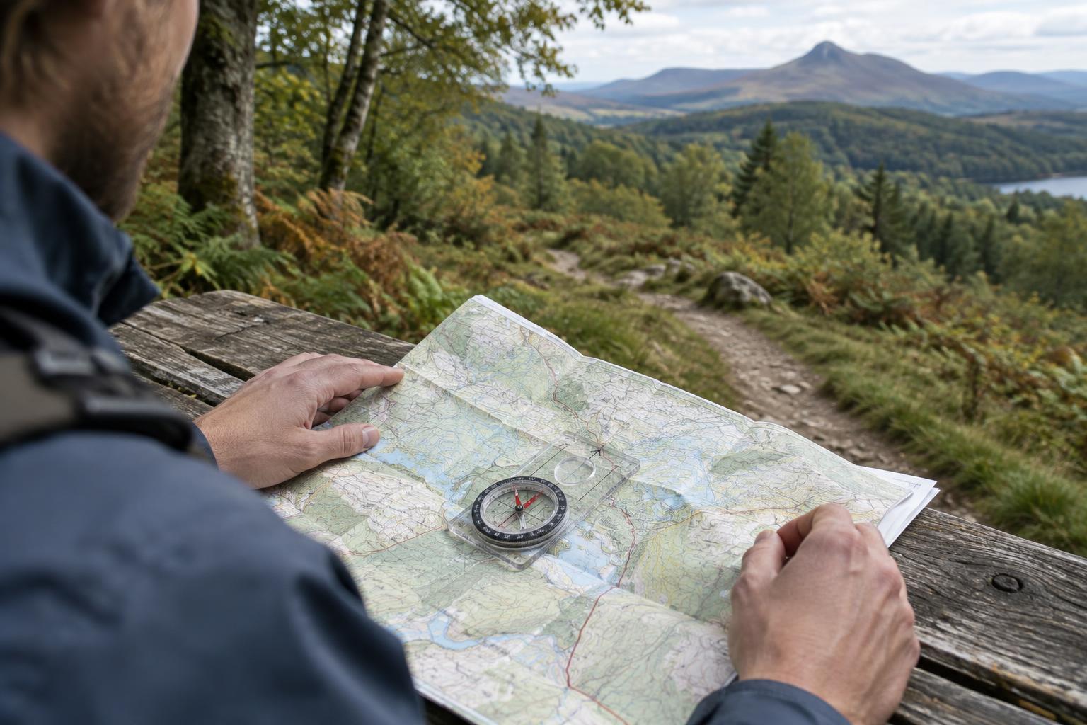
You need a map of the area and a working compass with a clearly marked north end of the needle. A transparent baseplate compass is convenient because you can see the map beneath it, but a simple pocket compass can also do the job. Before setting out, find the map’s north arrow or grid lines and read its legend. Do not assume that the top edge points north, especially if you are using a cropped or folded section.
Align the map and compass
Stop somewhere safe where you can spread out the map. Hold the compass level and let the needle settle. Keep it away from phones, keys, metal railings and other objects that might affect the reading. If the needle seems to swing or point differently when you move the compass a short distance, find a clearer spot and check it again.
Place the compass on the map so that its long edge follows a printed north–south grid line, if one is available. If not, use the map’s north arrow as your guide. Point the compass’s direction-of-travel arrow, or the top of a simple compass, toward map north. Keep the compass in place and rotate the map and compass together until the marked north end of the needle points toward map north. The page is now approximately aligned with the ground.
With a rotating-bezel compass, you can make the comparison easier by first setting its north marking in line with the direction-of-travel arrow. Then, as you turn the map and compass together, bring the needle’s north end under that bezel marking. You are turning the map, not trying to force the needle to turn.
Check the result against the landscape
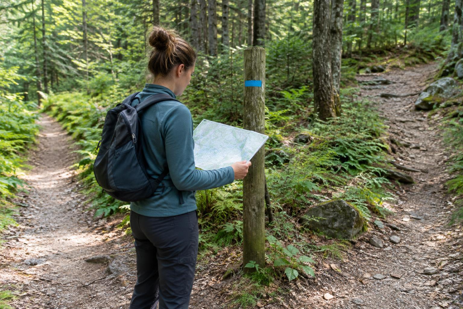
Once the map is oriented, pick a feature you can identify with reasonable confidence: a distinctive bend in a path, a bridge, a hill or a trail junction. Look at where it lies on the map and then look for it in the same direction on the ground. Try a second feature as well. If the two do not seem to fit, check that you used the correct end of the compass needle, followed the map’s actual north marking and identified the landmarks correctly.
Orienting a map does not tell you exactly where you are. It makes the map easier to compare with your surroundings, but similar-looking junctions and slopes can still be misleading. Keep track of your route as you walk, and reorient the map when you change direction or unfold it differently. At a confusing junction, pause rather than choosing a path from a single uncertain clue.
Know when north needs a correction
A compass needle points toward magnetic north, which is not necessarily the same direction as north on the map. Many maps use a grid with lines pointing to grid north. The angle between these directions is called magnetic variation or declination. For a quick visual check of nearby features, aligning map north with the needle may be useful as an approximation. Over longer distances, or when directions need to be precise, that difference can matter.
Check the map’s legend for its north information and use the appropriate local correction if you plan to take or follow a precise bearing. Follow the instructions for your particular compass, since the way you apply a correction depends on its design. If the information on an older map is unclear, avoid treating an uncorrected compass reading as exact. Use visible features and your route notes to confirm what the map appears to show.
Make it a habit on ordinary walks
Practice first where the route is familiar and several landmarks are easy to recognize. Orient the map, point to a feature on the page and see whether it appears in the expected direction. Then turn your body while leaving the map aligned: the page should stay pointed the same way even though you are facing somewhere new. That small exercise helps separate the direction you are looking from the direction the map represents.
On a day trip, orienting the map is most useful as a repeated check, not a one-time setup. Do it before a complicated junction, after a long stretch without obvious landmarks, or whenever the terrain seems inconsistent with your expectations. A compass and paper map work best when you pair them with careful observation and a willingness to stop and reassess.